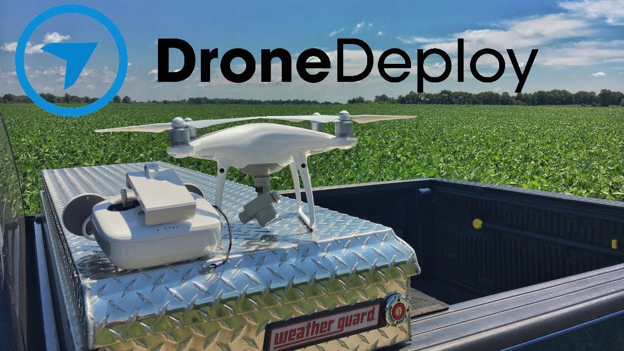
How to use drone deploy – How to use DroneDeploy? It’s easier than you think! This guide walks you through everything from setting up your account and planning flights to processing data and sharing your amazing aerial results. We’ll cover essential techniques, helpful tips, and even some troubleshooting advice to get you soaring with confidence.
DroneDeploy simplifies the process of drone data acquisition and analysis. From creating detailed flight plans to generating high-resolution maps and 3D models, we’ll explore the software’s capabilities step-by-step. Whether you’re a beginner or experienced drone pilot, this guide will empower you to harness the full potential of DroneDeploy for your projects.
DroneDeploy Account Setup and Navigation
Getting started with DroneDeploy is straightforward. This section guides you through account creation, dashboard navigation, data import, and project organization best practices.
Creating a DroneDeploy Account
To create an account, visit the DroneDeploy website and click “Sign Up.” You’ll need to provide your email address, create a password, and potentially enter some basic company information. After verifying your email, you’ll be ready to access the DroneDeploy dashboard.
Navigating the DroneDeploy Dashboard

The DroneDeploy dashboard is your central hub. Key sections include the “Projects” area for managing your mapping projects, the “Flights” section for reviewing flight logs, the “Data” section for accessing processed data, and the “Settings” section for managing account preferences. You’ll also find helpful resources and support links.
Importing Flight Data into DroneDeploy
DroneDeploy supports various drone models and data formats. After a flight, you typically upload the data (images, GPS logs) directly through the DroneDeploy app or via the website. The upload process is typically automated and involves selecting the relevant flight data files and specifying the project they belong to.
Organizing Projects and Data
Effective organization is crucial for managing multiple projects. Use descriptive project names, create folders within projects for different flight sessions, and consistently name your data files to maintain clarity. Regularly review and archive completed projects to keep your dashboard tidy.
Planning and Preparing Flights with DroneDeploy: How To Use Drone Deploy
Careful planning is essential for successful drone mapping. DroneDeploy offers powerful tools to design efficient flight plans and ensures safety protocols are followed. This section covers flight planning, pre-flight checklists, flight modes, and a comparison of planning options.
Designing a Flight Plan

DroneDeploy’s flight planning tools allow you to define the area to map, specify altitude, adjust the camera’s overlap (both front and side), and set other parameters like camera settings (e.g., shutter speed, ISO). The software automatically calculates the optimal flight path and the number of images needed to achieve the desired level of detail.
Getting started with drone mapping? Figuring out how to use DroneDeploy software can seem tricky at first, but it’s really straightforward once you get the hang of it. Check out this great resource on how to use DroneDeploy to learn the basics. From planning your flight to processing the data, this guide will walk you through the entire process of using DroneDeploy for efficient and accurate drone mapping.
Pre-Flight Checklists and Safety Procedures
Before each flight, it’s crucial to review a checklist that covers battery levels, weather conditions, airspace restrictions, and drone functionality. DroneDeploy facilitates this by allowing you to create and manage custom checklists directly within the platform. Adhering to local regulations and safety guidelines is paramount.
DroneDeploy Flight Modes, How to use drone deploy
DroneDeploy offers various flight modes tailored to different mapping needs. These modes automate many aspects of the flight, optimizing for accuracy and efficiency. Choosing the right mode depends on factors like the size of the area, terrain complexity, and desired data resolution.
Comparison of DroneDeploy Flight Planning Options
Different flight planning options cater to various needs and drone capabilities. Below is a comparison of some key features:
| Flight Mode | Advantages | Disadvantages | Best Suited For |
|---|---|---|---|
| Automated Flight | Easy to use, efficient for large areas | May require more processing time | Large-scale mapping projects |
| Manual Flight | Greater control, suitable for complex terrain | Requires more pilot skill and time | Smaller areas, challenging environments |
| Waypoint Flight | Flexibility to define specific points of interest | Requires more planning and precision | Targeted data acquisition, inspections |
| Orthomosaic Generation | Direct generation of orthomosaics | Limited control over processing parameters | Quick orthomosaic generation |
Executing Flights and Data Acquisition
This section details the process of connecting your drone, initiating a flight, monitoring progress, and troubleshooting issues during data acquisition. A comprehensive checklist and common error solutions are also provided.
Connecting Your Drone and Initiating a Flight
Once your flight plan is ready, connect your drone to the DroneDeploy app (usually via Wi-Fi). The app will guide you through the pre-flight checks and initiate the automated flight. Ensure your drone’s battery is fully charged and that you have sufficient storage space.
Monitoring Flight Progress and Troubleshooting
During the flight, the DroneDeploy app provides real-time feedback on the drone’s location, battery level, and image capture progress. If issues arise (e.g., low battery, GPS signal loss), the app will alert you, and you can take corrective actions. You may need to manually intervene or abort the flight.
Drone Flight Checklist
A comprehensive checklist helps ensure a smooth and safe flight. Here’s a sample checklist:
- Check weather conditions
- Inspect drone for damage
- Charge batteries fully
- Review flight plan
- Check airspace restrictions
- Monitor flight progress
- Inspect captured data after landing
Common Drone Flight Errors and Solutions
- GPS signal loss: Check for obstructions, ensure sufficient satellite signal.
- Low battery: Land immediately, replace battery.
- Communication issues: Check Wi-Fi connection, restart devices.
- Camera malfunction: Check camera settings, restart drone.
- Unexpected weather: Abort flight and reschedule.
Processing and Analyzing Drone Data in DroneDeploy
DroneDeploy automates much of the data processing, but understanding the options and parameters allows you to optimize results. This section explains processing options, parameter adjustments, error correction, and data output types.
DroneDeploy Processing Options
DroneDeploy offers various processing options, affecting data quality and processing time. These include different algorithms for stitching images, generating orthomosaics, and creating 3D models. Higher-quality processing generally requires more processing time and resources.
Adjusting Processing Parameters
Optimizing processing parameters is crucial for achieving desired results. Factors like ground sampling distance (GSD), point cloud density, and orthomosaic resolution can be adjusted to balance data quality and file size. Experimentation and understanding the impact of each parameter are key.
Identifying and Correcting Processing Errors
Processing errors can occur due to various factors, including poor image quality, insufficient overlap, or GPS inaccuracies. DroneDeploy often highlights potential issues during processing, allowing you to review the data and make corrections, such as re-flying specific areas or manually editing problematic images.
Data Outputs in DroneDeploy
DroneDeploy provides several data outputs, including orthomosaics (2D maps), 3D models (realistic representations of the area), and point clouds (3D datasets containing millions of individual points representing the terrain). The choice of output depends on the intended application. For instance, orthomosaics are ideal for measuring areas, while 3D models are useful for volume calculations and visualization.
Sharing and Collaborating on DroneDeploy Projects
DroneDeploy facilitates collaboration by allowing you to easily share projects and data with others. This section details project sharing, permission management, communication strategies, and revision management.
Sharing Projects and Data
Sharing projects is simple. Within the project settings, you can invite collaborators by entering their email addresses. You can assign different permission levels (e.g., view-only, edit access) to control what collaborators can do within the project.
Managing User Permissions and Access Control
DroneDeploy’s granular permission system allows you to tailor access to individual projects and data. You can grant different levels of access (view, edit, manage) to different users, ensuring only authorized individuals can modify or download data.
Effective Communication Strategies
Clear and consistent communication is crucial for collaborative projects. Utilize DroneDeploy’s built-in commenting features, utilize external communication tools like email or project management software to keep everyone informed of updates and progress. Regular project meetings or check-ins can also be beneficial.
Managing Revisions and Updates

For projects undergoing revisions, DroneDeploy allows for version control. Each update creates a new version, enabling you to revert to previous iterations if needed. Maintain a clear log of changes and communicate these changes to collaborators effectively.
Advanced DroneDeploy Features and Integrations
DroneDeploy offers a range of advanced features and integrations to enhance workflow efficiency and data analysis capabilities. This section explores these advanced features and the software’s applications across various industries.
Advanced Features
Advanced features include automated reporting, generating detailed reports directly from the processed data; measurement tools, enabling precise measurements of distances, areas, and volumes; and third-party integrations, connecting DroneDeploy with other software platforms for enhanced data analysis and workflow automation.
Industry Applications
DroneDeploy finds applications across various industries. In agriculture, it’s used for precision farming; in construction, for site monitoring and progress tracking; in mining, for stockpile volume measurements and site surveying. The versatility of the platform adapts to various needs.
Integration with Other Software Platforms
Imagine a workflow where DroneDeploy data seamlessly flows into GIS software (like ArcGIS or QGIS) for further analysis and integration with existing geographic information. The processed data (orthomosaics, point clouds) can be exported and imported into these systems, enriching existing maps and analyses. Similarly, integration with project management tools allows for streamlined project tracking and reporting.
Comparison with Other Mapping Software
Several other mapping software packages exist, each with its strengths and weaknesses. DroneDeploy distinguishes itself through its user-friendly interface, automated processing capabilities, and extensive integrations. However, other options might offer specialized features or better support for specific drone models. The best choice depends on specific project requirements and budget constraints.
Mastering DroneDeploy opens a world of possibilities for capturing and analyzing aerial data. By following this guide, you’ve equipped yourself with the knowledge to efficiently plan flights, process data accurately, and collaborate effectively on projects. Remember to explore the advanced features as your skills grow – DroneDeploy’s versatility makes it a valuable tool for various applications. Happy flying!
FAQ Compilation
What drones are compatible with DroneDeploy?
DroneDeploy supports a wide range of drones; check their website for the most up-to-date compatibility list.
How much does DroneDeploy cost?
DroneDeploy offers various subscription plans catering to different needs and budgets. Visit their pricing page for details.
Getting started with drone mapping? Figuring out how to use DroneDeploy software can seem tricky at first, but it’s really quite intuitive once you get the hang of it. Check out this super helpful guide on how to use DroneDeploy to learn the basics of flight planning and data processing. Mastering how to use DroneDeploy will unlock a whole new world of aerial imagery possibilities for your projects!
Can I use DroneDeploy offline?
No, DroneDeploy requires an internet connection for most functionalities, including flight planning and data processing.
What kind of support does DroneDeploy offer?
DroneDeploy provides comprehensive documentation, tutorials, and customer support channels to assist users.
